I'm in Grand Canyon National Park (or just outside it, actually, in Tusayan).
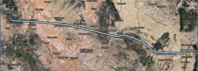
When I checked the weather this morning, KABQ was reporting 2,200 broken, and conditions were good VFR along my entire route. The only potential problem was that Grand Canyon Airport KGCN forecast showed MVFR - 1,500 foot ceilings and fairly high gusty winds - from about noon on. I decided to leave as early as possible for the three-hour flight, so as to avoid any potential problems.
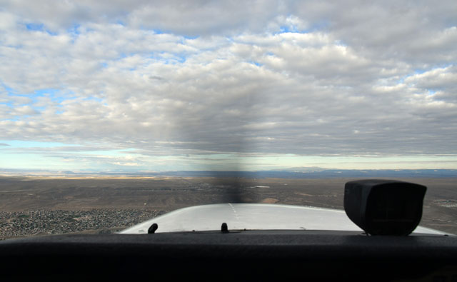
When I got to KABQ, there was a 1,900 foot overcast, which meant that the mountain tops to the east were obscured - but to the north and west, the deck was higher and I could see blue skies in the distance.
The country between Albuquerque and Grand Canyon is desert, and until you get quite close to Grand Canyon, very dry and eroded desert indeed. Here are a few shots from along the route:
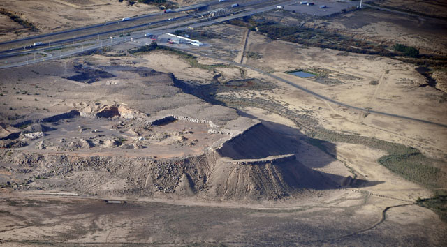
Rio Puerco, NM
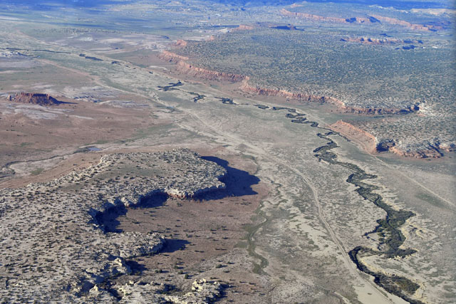
Where there's water, like along this rambling stream, the desert is green. Elsewhere, not so much...
Mount Taylor, near McCartys, NM, rises over 11,000 feet - well above my 8,500 foot cruising altitude. However, by following the valley (with road and railroad) running through Gallup, NM, I had plenty of clearance from the ground all the way.
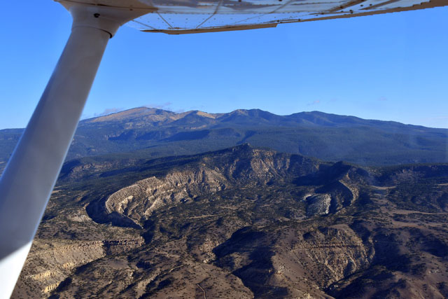
The ground is wrinkled near Gallup, NM - evidence of a fault line, perhaps?
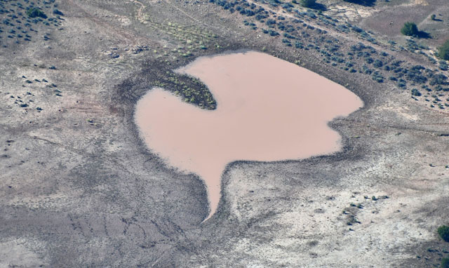
Got to have a Rorschach Test pond...
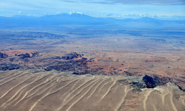
Fern-like erosion patterns in the desert in Arizona.

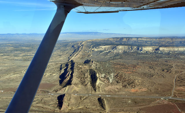
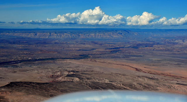
As we neared the Grand Canyon, the high plateau shelved off to a lower level. I think these are wind erosion patterns leading back from the cliff edge.
On the other side of the valley, the land rises up again, with Grand Canyon Airport on the far edge of the plateau.
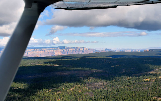
By leaving Albuquerque early, I made it to Grand Canyon Airport well before the time the MVFR conditions were predicted, and in fact, while there were some scattered clouds at Grand Canyon, they didn't get in the way at all, and the winds were only five knots. Here is my first glimpse of the Grand Canyon, coming in over the pines to enter a left base for Runway 21. There's a continuous stream of helicopters flying in and out of the airport giving air tours of the Canyon, so you have to stay above 7,200 feet above sea level until you're on final.
I landed at KGCN, which is actually in Tusayan - they moved the airport since I was last here forty years ago - and the FBO gave me a lift to my hotel. The National Park runs a shuttle bus from Tusayan to the park visitor center, which turned out to be free if you have a Senior Pass, and other buses shuttle around the park on a frequent schedule.
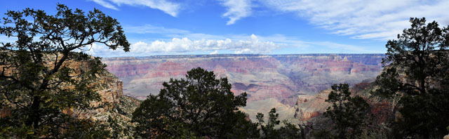
After lunch I walked the Rim Trail for three or four miles, then rode the buses back to Tusayan as the sun set.
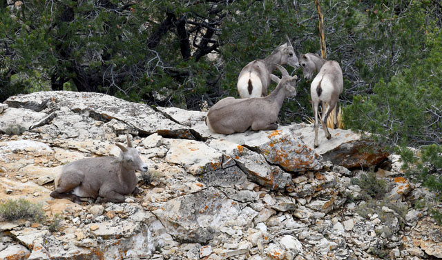
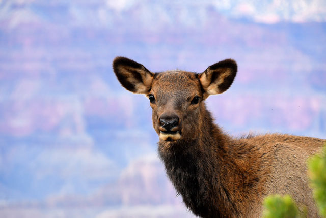
You're supposed to stay at least 100 feet from elk in the park, but what do you do when they walk up the trail behind you? I just stepped aside and let four elk walk by no more than two feet from me. They weren't bothered, and seemed perfectly happy to pose for a picture as they went by.
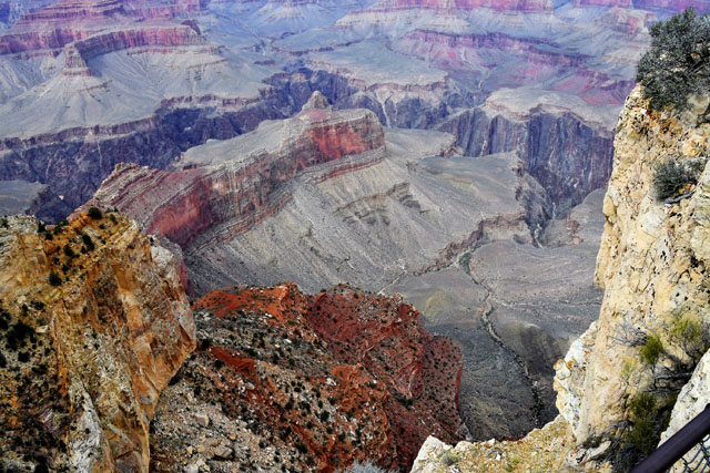
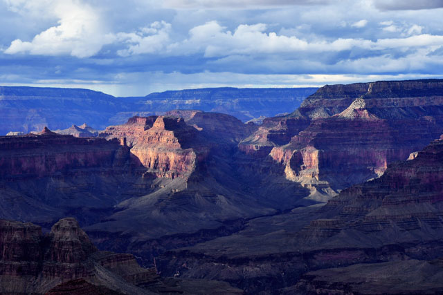
You can see the rain falling on the North Rim, but we didn't get any on the South Rim - at least, not where I was.
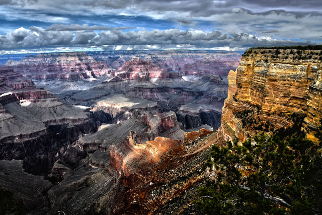
The dramatic lighting in the canyon and the clouds gathering over the North Rim seemed to call for HDR treatment - this is a combination of five pictures taken at differing exposures, and combined to exaggerate tonal differences. It's not photorealistic, but I like it.
All in all, a Good Day...