I'm in Cheyenne, Wyoming, this evening.

I'd originally planned to leave Fruita on Tuesday morning and fly to Oshkosh on Tuesday and Wednesday morning. The weather, as always, had other ideas. On Friday it looked like Tuesday wouldn't be good, but Monday's weather should be OK. As Monday approached, however, the weather picture got worse rather than better. As of this morning, it was supposed to get cloudy and rainy in Fruita tomorrow - but the various models and websites differed as to just when that might happen. This is the 24-hour depiction as of this morning:

As you can see, the green "precipitation possible" area covers all of Utah and most of western Colorado. The depiction for Tuesday morning, when I'd originally planned to leave, was even worse:
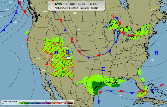
More to the point, the only ways from Fruita to Oshkosh involve flying over, or around, the Rocky Mountains, so even if rain holds off, unless you want to fly all the way south to New Mexico or west a long way and then north a long way, you need the clouds to be well above the 10,500 foot elevation of the passes. The non-aviation weather sources varied about when Fruita would change from "partly cloudy" to "cloudy", and when the rain might arrive - and had no forecasts for cloud bases. Windy.com had cloud predictions which were marginal. In the end, I could probably have made it out tomorrow morning, but "probably" isn't a concept I'm comfortable with when the subject is flying over mountains.
So, I decided to leave this afternoon. By two o'clock I'd put fifteen gallons more fuel in the Cessna (you don't want to have full tanks getting out of a 2600 foot strip at 4,724 foot elevation), and I was climbing out on a left downwind from Runway 25 at Mack Mesa Airport 10CO.

From Fruita you have to climb up out of the Colorado River Valley and over the Book Cliffs. I was at 7,500 when I crossed the cliffs.
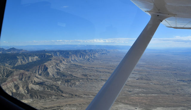
Not long afterward I was at 8,500 - the Cessna was maintaining a comfortable 500 foot per minute climb - and could see over most of the peaks, which meant we were higher and could safely pass.
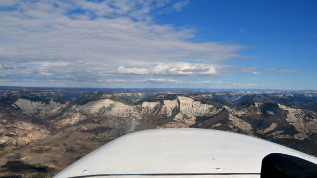
It's rugged country, with dramatic cliffs.
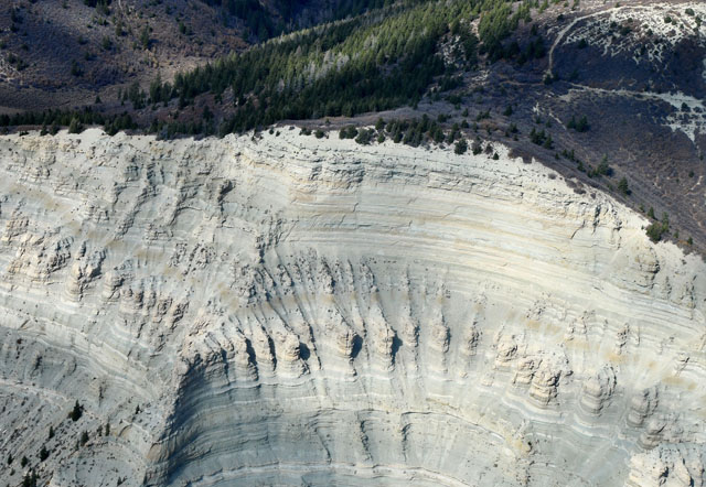
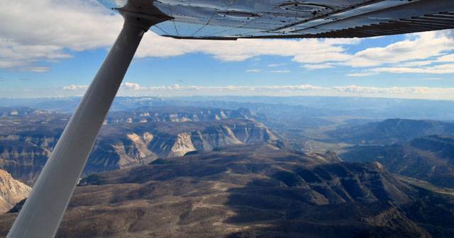
I suppose we have to have a Rorschach Test Pond for the day - I'm guessing prehistoric fish?

After passing Meeker (KEEO), we'd climbed to our final altitude of 11,500 feet and were well above the terrain, heading directly for Robert VOR (BQZ) near Steamboat Springs. Steamboat Springs is in a valley, with the steep northeast end of the valley sloping up to a pass at around 10,500 feet.
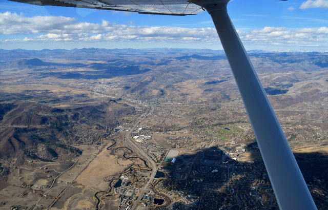
There's snow on the ground at the upper end of the ski lifts at Steamboat, but not on the lower slopes - snow is in the forecast, so skiers can hope...
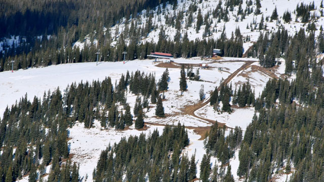
We crossed the pass above the ski area at 11,500, about 1,000 feet above ground level.

The other side of the pass drops steeply down to a broad, flat and dry valley called "North Park", which makes up most of Jackson County, Colorado, Colorado's third-least inhabited county.
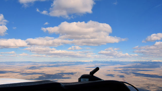
The Canadian River snakes through North Park.
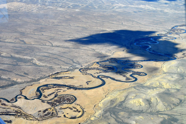
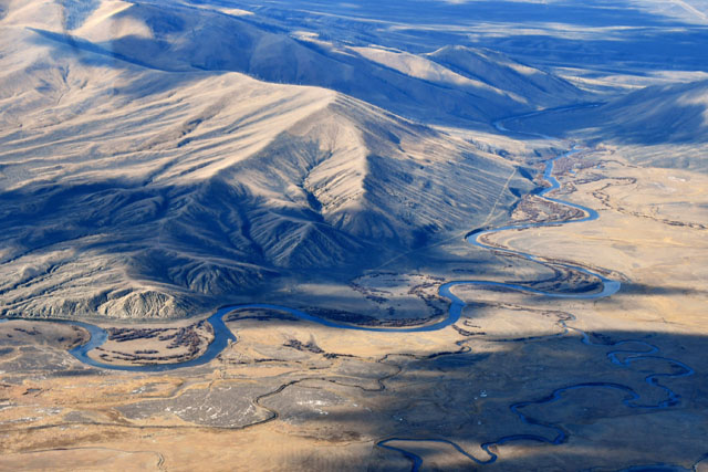
The eastern border of North Park is another ridge, but the pass near Walden, CO, is much lower than the one at Steamboat. I descended down to about 10,000 feet as we crossed the ridge.
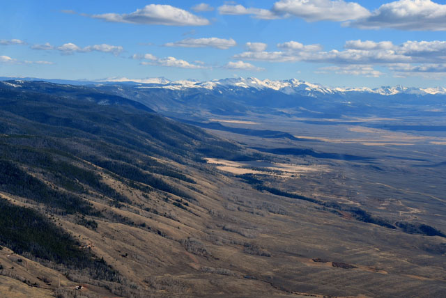
Once through that pass, it's all flat - and downhill - to Cheyenne, about 70 miles eastward.
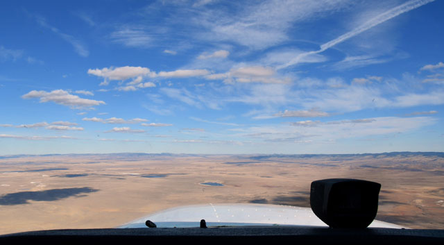
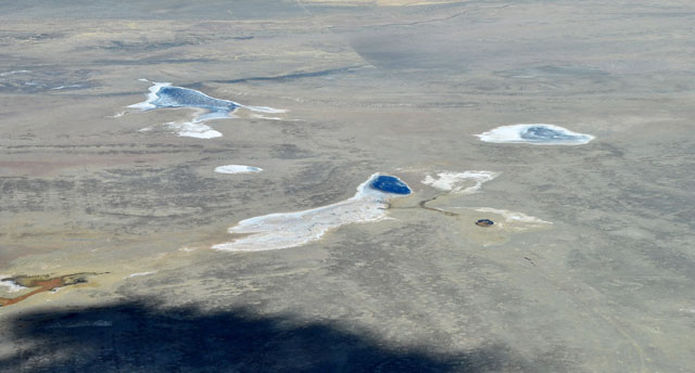
Right angles... always right angles...

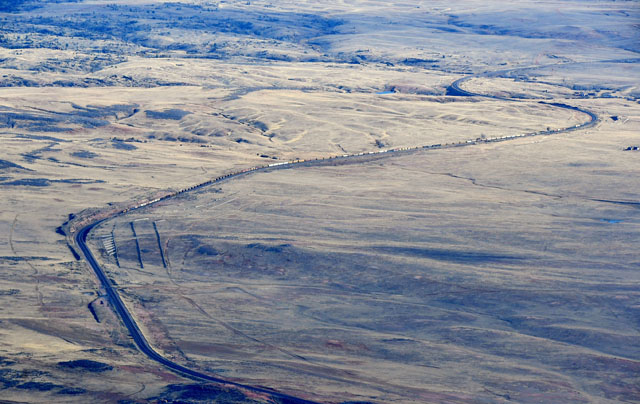
A train on the line between Fort Collins, Colorado, and Laramie, Wyoming.
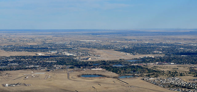
By a little after four o'clock, I was on a right downwind for runway 27 at Cheyenne KCYS. The winds were light, by Cheyenne standards - 280 at 11 gusting 15. The last time I was in Cheyenne they were gusting 34, so that seemed quite comfortable.
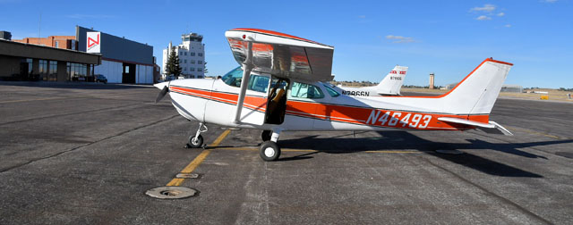
We landed, and soon afterward the FBO was giving me a lift to my motel.
The weather from here eastward is supposed to be nice over the next few days, so unless something changes I'll be in North Platte, Nebraska, tomorrow afternoon, Mason City, Iowa, Tuesday, and Oshkosh by mid-day Wednesday. Watch this spot for developments!